Society
Strong winds and heavy swell: Four-meter waves expected on coasts
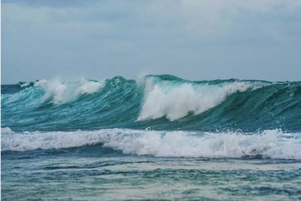
Madagascar's coastline is under pressure and facing unfavorable weather conditions. Winds of 45 to 55 km/h, potentially reaching 65 km/h north of Vohémar, are forecast across several maritime zones. Meanwhile, wave heights could reach 4 meters in certain areas, posing risks to maritime traffic and economic activities. The sea is slowing down activities. From Morombe to Taolagnaro, from Mahajanga to Analalava and from cape Bobaomby to Antalaha, strong winds have been blowing until yesterday. This situation has complicated sea traffic and disrupted daily activities for communities whose livelihoods depend directly on the sea. Indeed, these disruptions can quickly translate into a slowdown in socio-economic activity. Fishing, transport and coastal trade are directly exposed when navigation conditions become difficult. The situation is expected to remain rough for longer on certain coasts. Between Itampolo and cape Bobaomby, the sea could reach 2.5 to 3.5 meters, with waves potentially reaching 4 meters on the northeast coast and between Itampolo and Taolagnaro. Beyond the risks of shipwreck and activity disruption, the heavy swell could also cause sea level rise in flood-prone areas. This weather sequence thus highlights the strong dependence of coastal economies on maritime conditions and the importance of regularly following local authorities' guidance.
Source: Midi Madagasikara